Hiking on the Costa del Sol: how to choose routes by heat, difficulty and season
Hiking on the Costa del Sol is not limited to one famous attraction or one type of landscape. Málaga province combines coastal paths, inland hills and long-distance trail networks, but route difficulty can change sharply with heat, elevation, surface and transport.
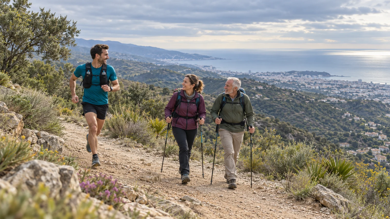
The province maintains official trail resources, including the Gran Senda de Málaga and a Provincial Network of Trails. Use those live route descriptions for distance, difficulty and access instead of relying on a generic blog summary.
Quick answer
Choose the route from your real fitness, season and transport plan. Verify distance, elevation, surface, water availability and whether the walk is linear or circular. In warm or unstable weather, be willing to shorten, change or cancel the route.
Start with the official route description
An official route sheet can tell you much more than total kilometres.
Look for estimated duration, ascent/descent, type of route, technical difficulty, water points and return logistics.
Some official Gran Senda material explicitly notes long stages with no water supply or no public transport between start and finish. Those details can completely change whether a walk is suitable.
Coastal walks
Coastal walking can be a good choice when you want an easier active day close to a resort.
However, “coastal” does not automatically mean flat, shaded or continuous. Promenades, boardwalks, road sections and natural paths can all appear in the same day.
Check the actual route and current access.
Inland routes
Inland hikes can offer quieter landscapes and more elevation, but they usually demand more transport planning.
A route that is only a few kilometres long can still be strenuous because of steep ascent, loose surface or exposure.
Do not choose from distance alone.
Gran Senda de Málaga
The Gran Senda is a major long-distance network across Málaga province, divided into stages with official route information.
It is not one uniform walk. Each stage should be treated separately because distance, terrain, technical difficulty and transport vary.
If you want only one day of hiking, choose one stage or local route that works as a complete day rather than trying to “do the Gran Senda” generically.
Beginners
Start with a route whose distance, elevation and surface are clearly within your normal walking ability.
Avoid adding a difficult mountain hike simply because it is nearby. A shorter official route with simple return logistics is often a better first day.
Experienced hikers
Experience does not remove the need to check current conditions.
Trail access, weather, erosion and temporary closures can change. Use official or municipal information close to departure.
Heat
Heat is one of the most important planning factors.
Check the forecast, route exposure and water points. Carry enough water for the route and do not assume a fountain shown in an old description is available unless current official information confirms it.
If conditions become hotter than expected, choose a shorter or more shaded option.
Rain, wind and trail conditions
Rain can make rocky or compacted surfaces slippery, while wind can change exposed ridge conditions.
Do not rely only on the weather in your beach resort; inland and elevated areas can feel very different.
Footwear and equipment
Choose footwear for the actual terrain rather than for the town you are staying in.
For easy paved coastal walks, heavy hiking boots may be unnecessary. For uneven inland terrain, stable footwear can matter much more.
Carry sun protection, navigation appropriate to the route and any extra layer required by the forecast.
Families
For families, choose routes with predictable duration, clear turnaround options and terrain that matches the youngest walker.
Do not judge suitability only from kilometres. Heat, ascent and lack of shade can make a short walk hard for children.
Seniors and accessibility
“Walking route” does not mean step-free or accessible.
Check surface, gradient, steps, width and rest opportunities. If mobility is limited, use destination-specific accessible guides rather than assuming a hiking trail is suitable.
Getting there and back
Transport can be the hidden difficulty.
Some routes begin near towns; others require a car, taxi or transfer. Linear trails may finish far from the start.
Plan the return before leaving. See getting around the Costa del Sol and whether you need a rental car when route access is driving the decision.
Guided hiking
A guide can add value when the route is unfamiliar, navigation is complex or you want local interpretation.
If booking commercially, verify operator credentials, included equipment, exact route, group size, cancellation/weather policy and transport.
Costa Guest should recommend a paid activity only when it improves the plan, not simply because it is bookable.
Budget
Many hiking routes themselves are free to access, but transport, parking, guide fees, attraction tickets or equipment can change the day cost.
Check the specific route rather than treating all hiking as a zero-cost activity.
How to verify before leaving
Use the official trail network or route sheet for route facts, then check current municipal/natural-area information for access and temporary restrictions.
Check weather on the day and map the return transport.
Practical decision rule
Pick a route you can explain in five facts before leaving: distance, elevation, surface, water and return plan. If any of those are unknown for a demanding route, keep researching or choose a simpler walk.
Continue your Costa del Sol planning
Other published guides for the same destination or a closely related topic.