Antequera and El Torcal: how to plan both without pretending they are one stop
Antequera city and El Torcal complement each other, but they need separate access planning. Build the day around road conditions, parking capacity and realistic terrain.
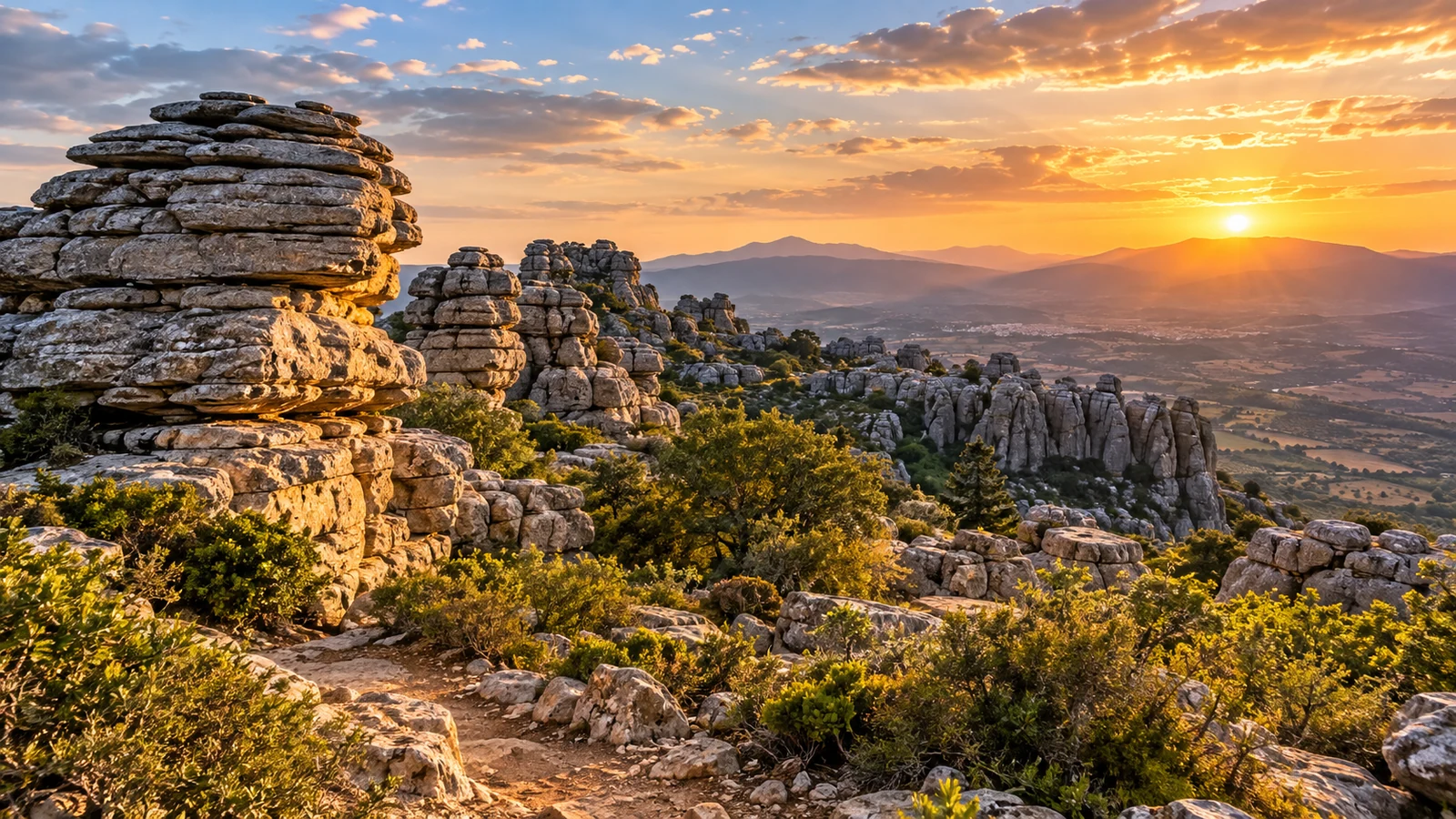
Antequera and El Torcal work very well together, but only when you stop treating them as one walkable attraction zone. The historic city and the protected natural area are complementary, yet El Torcal needs its own road-access plan, its own parking check and a realistic decision about terrain and weather.
The official visitor information makes the separation clear: from Antequera, the approach uses the A-7075 towards Villanueva de la Concepción, with the turn for the Torcal Alto Visitor Centre around kilometre 42.
That means your first planning decision is not “which monument next?” but “which half of the day gets El Torcal?”
Choose city-first or Torcal-first
There is no need to pretend the transition is seamless.
If weather and access conditions look best earlier, make El Torcal the first major block and leave Antequera city for later.
If the mountain conditions are uncertain or you want to begin with museums and heritage, start in Antequera and reassess El Torcal before driving up.
A third option is to separate the two into different half-days if your schedule allows it.
The important point is that El Torcal is not an extension of a city-centre walking route.
Understand the parking constraint before leaving
Private vehicles can reach Torcal Alto only while the upper parking area still has capacity.
The official access page explains that restrictions can be introduced on weekends, holidays and other high-demand periods. There is no fixed closure time because access is restricted when the upper car park fills.
That makes a “we will arrive whenever we feel like it” strategy risky on busy days.
Check the official access information close to departure and treat parking capacity as a live constraint, not as a detail to solve after arriving at the access road.
Use Torcal Alto as the trailhead, not a guaranteed staffed stop
Torcal Alto is the practical upper parking and trailhead reference for the protected natural area.
Do not rely on the Visitor Centre being open or staffed when you arrive. The Junta can publish temporary closures, so check its current status before depending on in-person information.
That means route choice, weather and access should be checked before driving up, not delegated to the centre on arrival.
If access is open, use the signed public routes from the Torcal Alto area and keep the visit inside the published trail framework.
Keep the first hike simple
The official route information gives two straightforward public options.
The Green Route is a free, signposted circular walk of about 1.5 kilometres.
The Yellow Route is also free and signposted, with a circular distance of about 3 kilometres.
These distances can help with broad planning, but they do not mean the terrain is easy.
The route page explicitly warns that the ground is rocky and irregular and becomes especially slippery when wet.
Choose the route based on conditions and the group, not only on kilometres.
Weather changes more than comfort
At El Torcal, wet weather is not just an inconvenience.
Because the terrain is rocky, irregular and more slippery when wet, conditions can materially change how suitable a route feels.
That is why a same-day weather and access check belongs in the plan.
Do not assume a route described as short is automatically low-effort, and do not treat the Green or Yellow routes as universally accessible.
If conditions are poor, Antequera city provides a much easier fallback with museums and indoor heritage.
Road closures must stay live
Special access restrictions can also appear independently of normal parking controls.
At the time this research pack was verified, the official site warned of a total access-road closure on 23, 24 and 25 September 2026 for resurfacing works.
That closure is a perfect example of information that must not be frozen into evergreen copy after it passes.
The stable lesson is different: always check the official access page before travelling to El Torcal.
A realistic combined day
The easiest combined structure is one major block in Antequera and one major block at El Torcal.
Do not fill the city section with every monument and then attempt a full mountain visit afterwards.
For a first visit, choose a focused city experience, then use Torcal Alto plus either the Green or Yellow route if access and weather are suitable.
If parking restrictions, road closures or wet terrain make El Torcal inconvenient, leave it for another window instead of forcing the plan.
Antequera and El Torcal work best together when each is given enough space to be itself.
Continue your Costa del Sol planning
Other published guides for the same destination or a closely related topic.